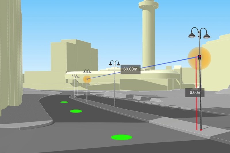
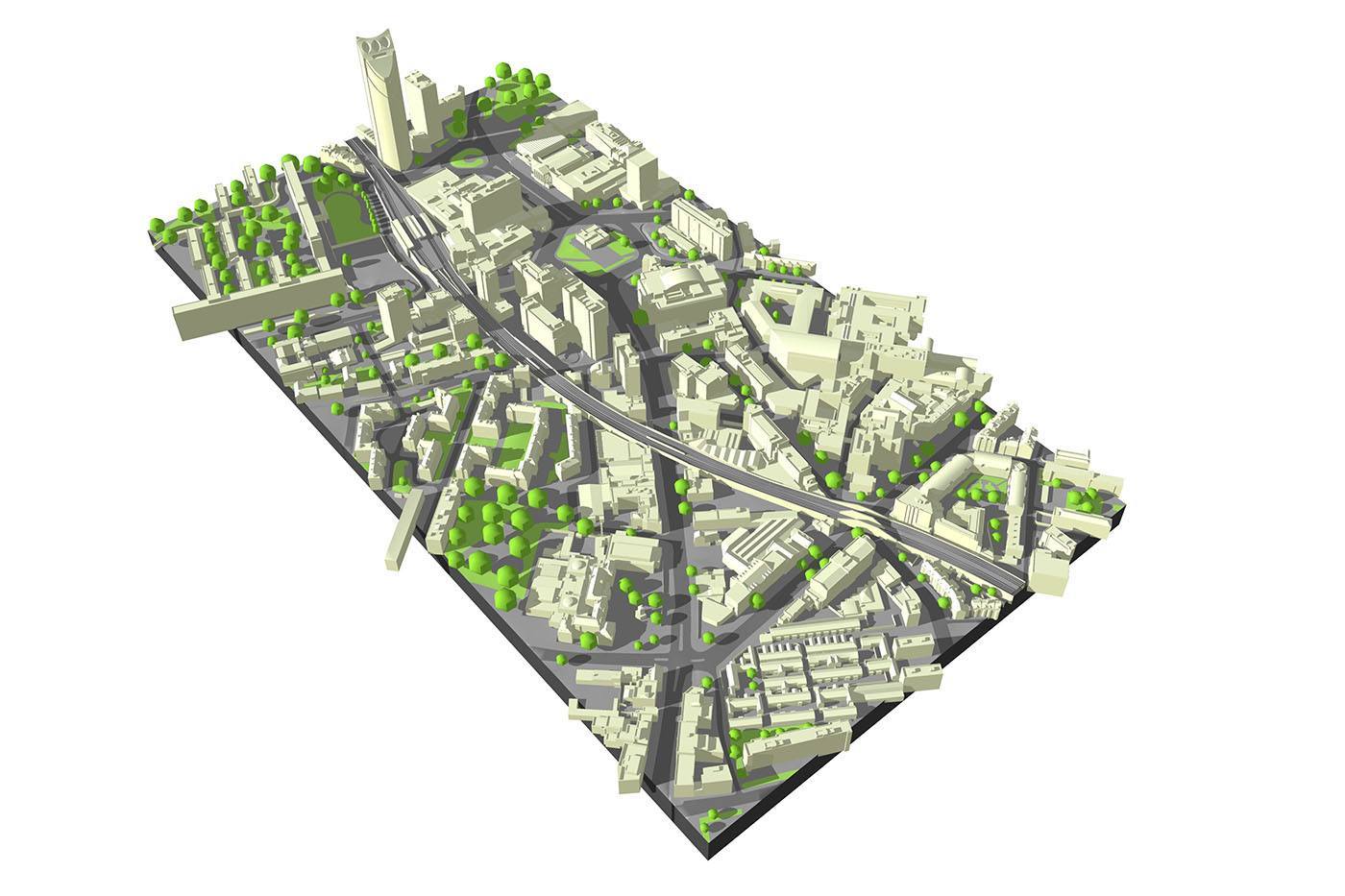
HEIGHT RESTRICTIONS AND STRATEGIC VIEWS
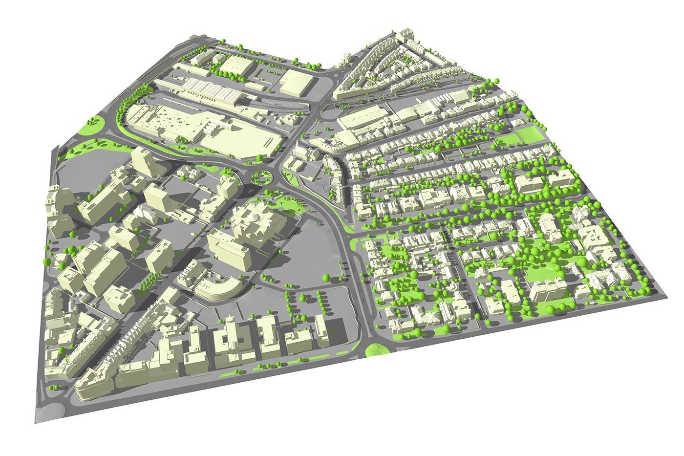
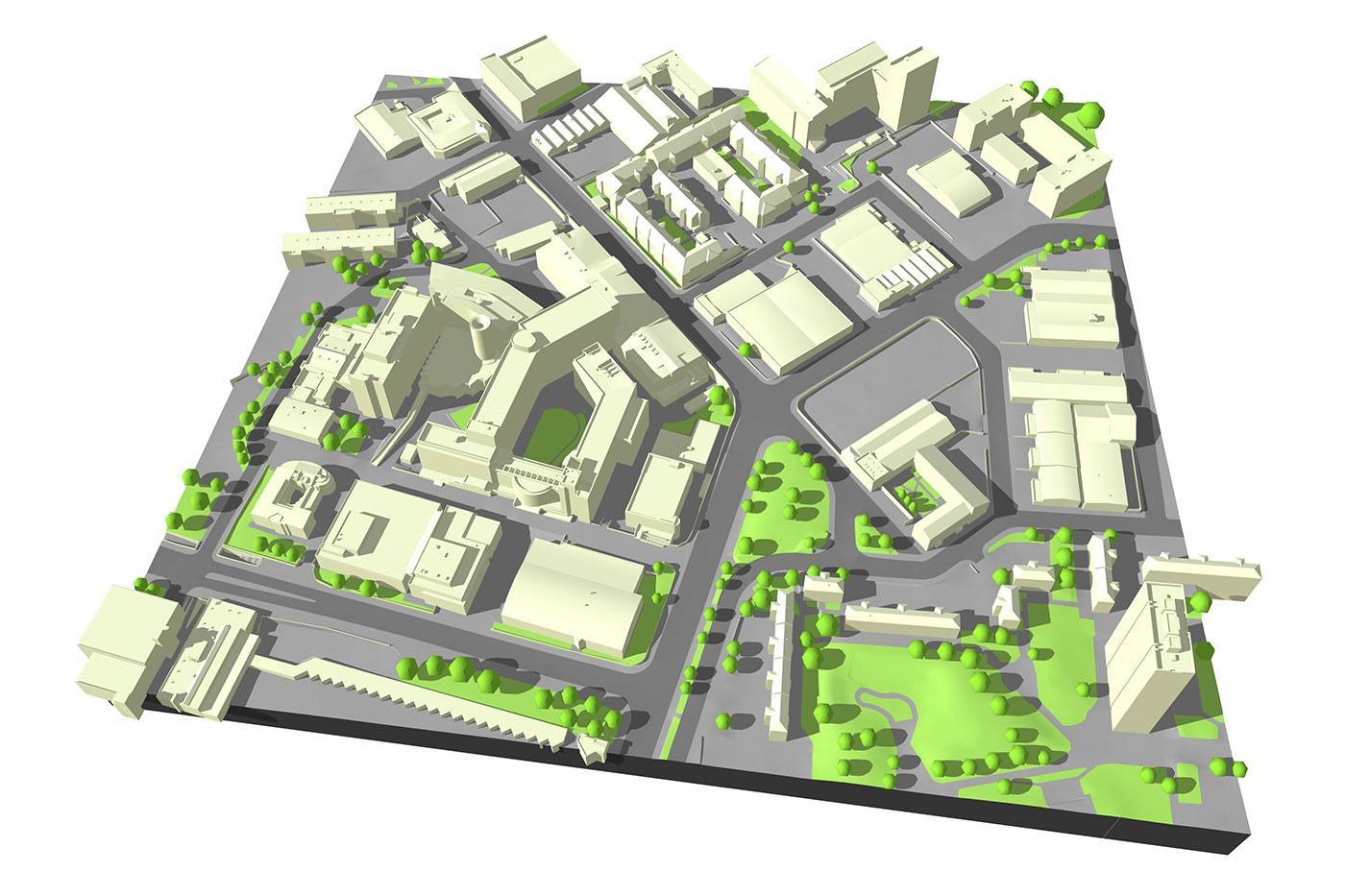
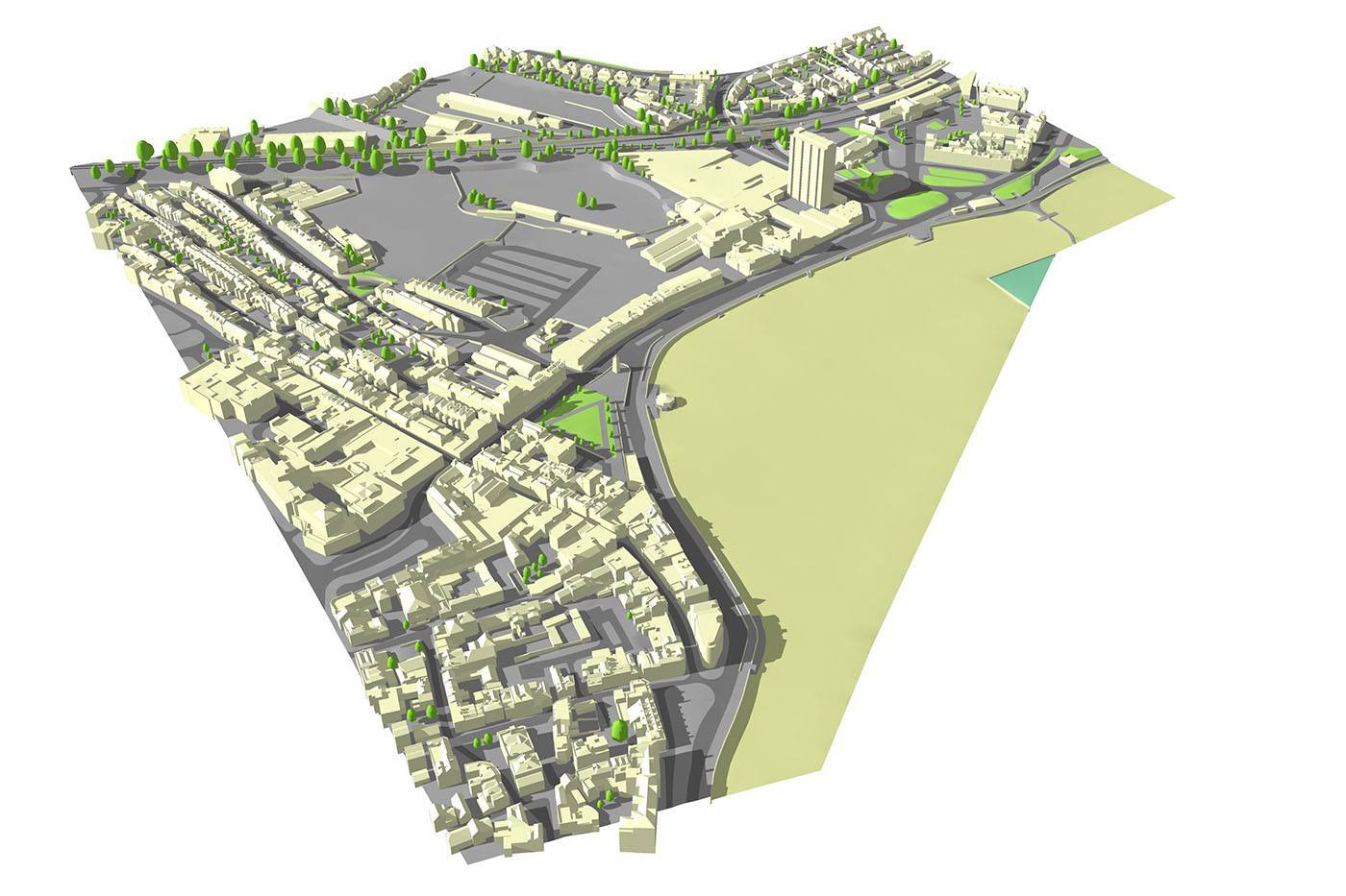
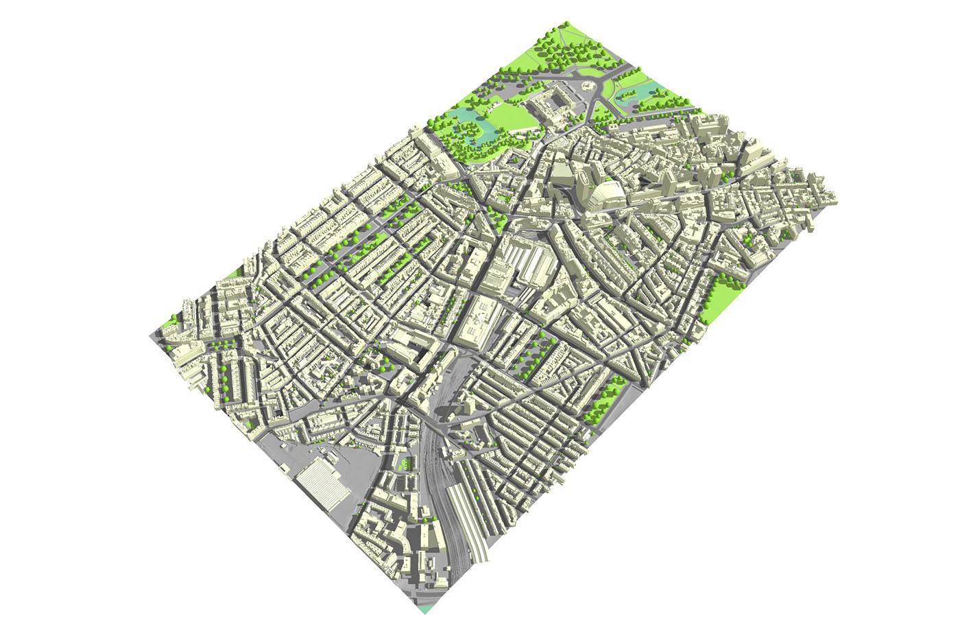
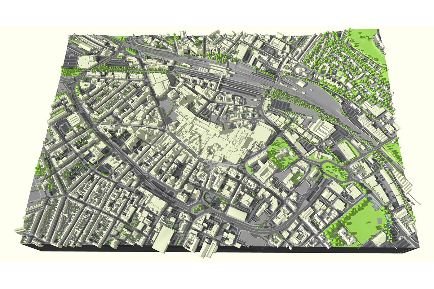
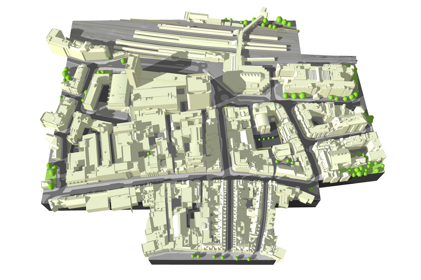
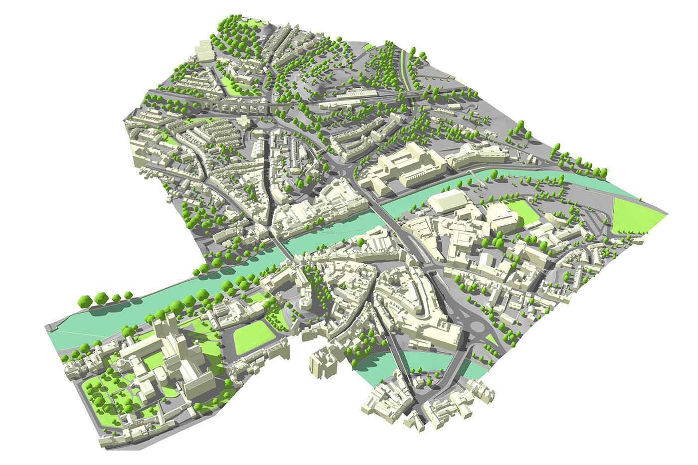
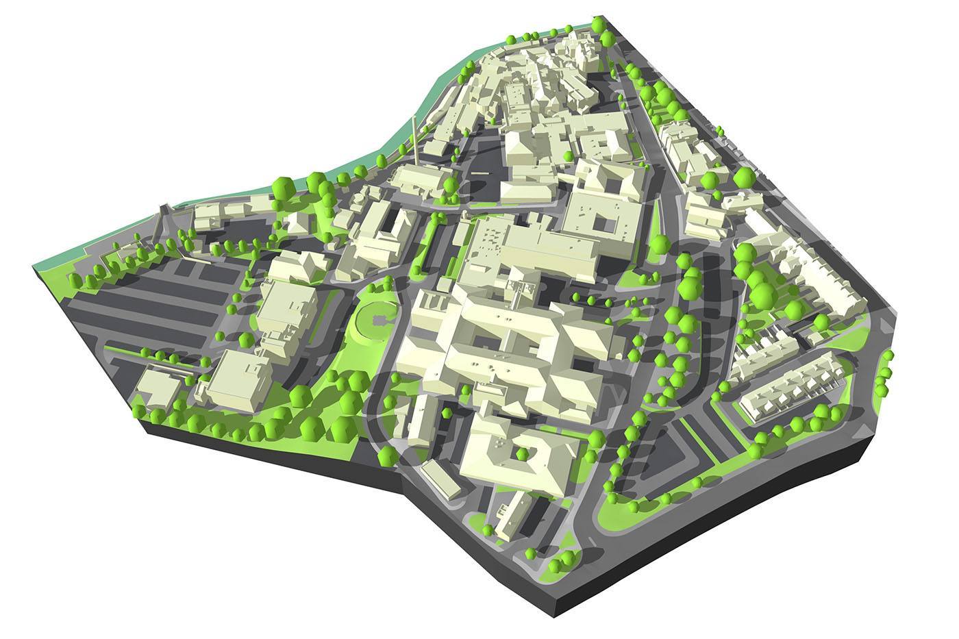
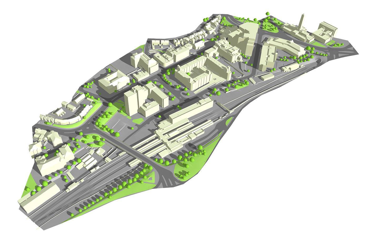
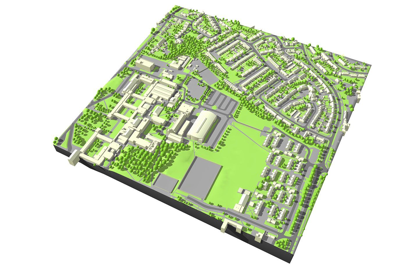
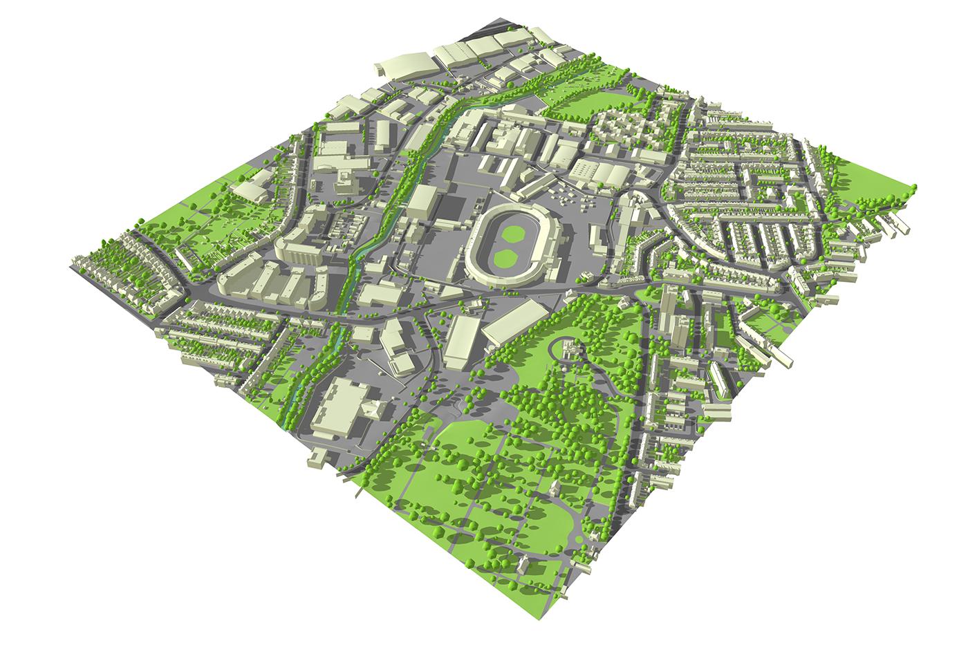
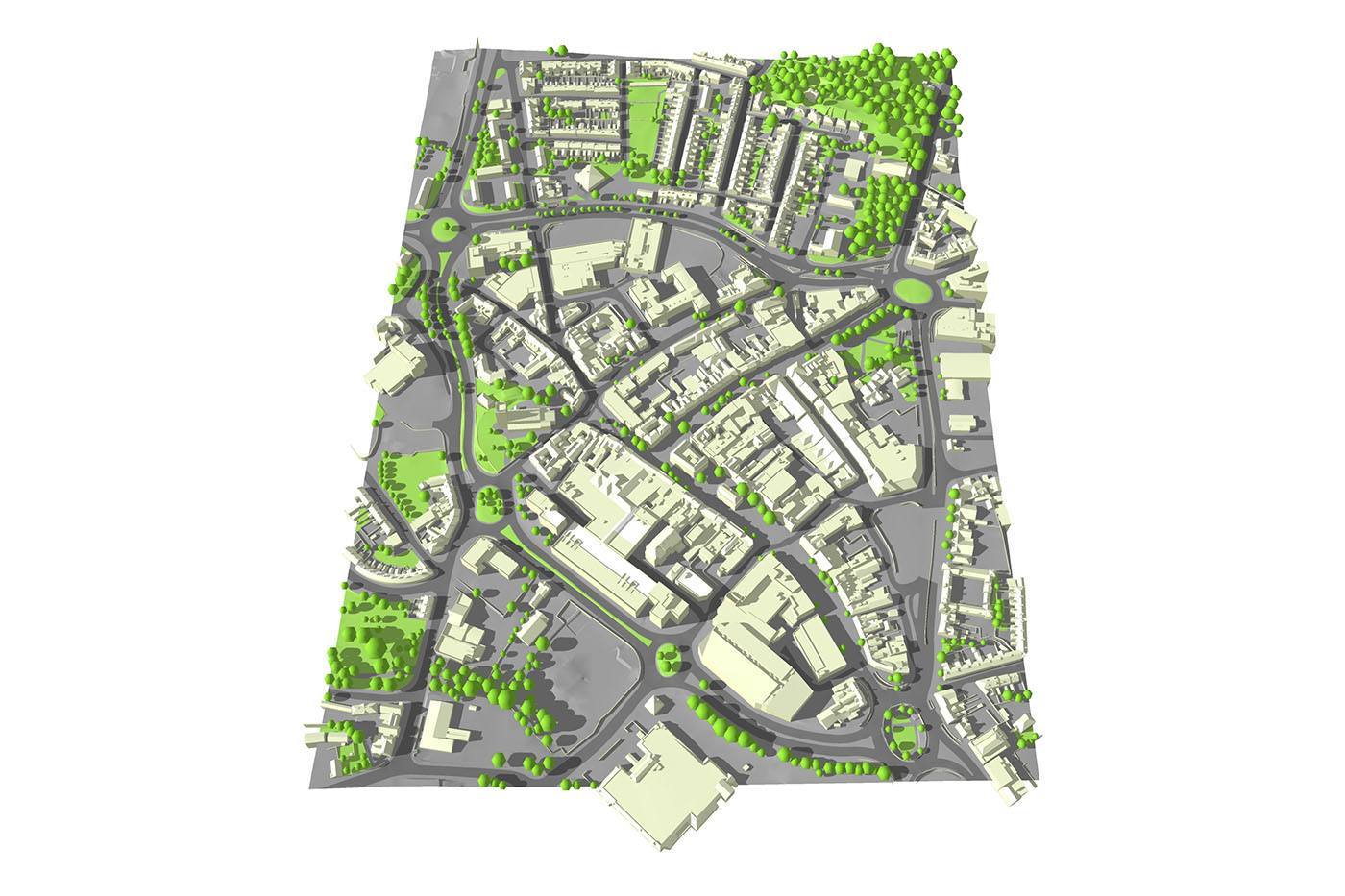
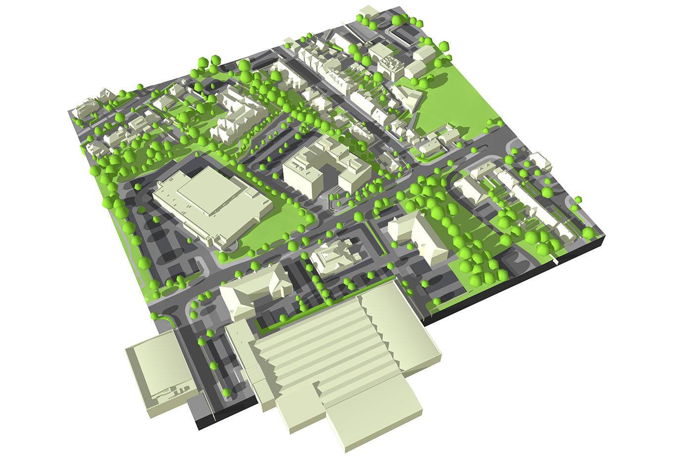
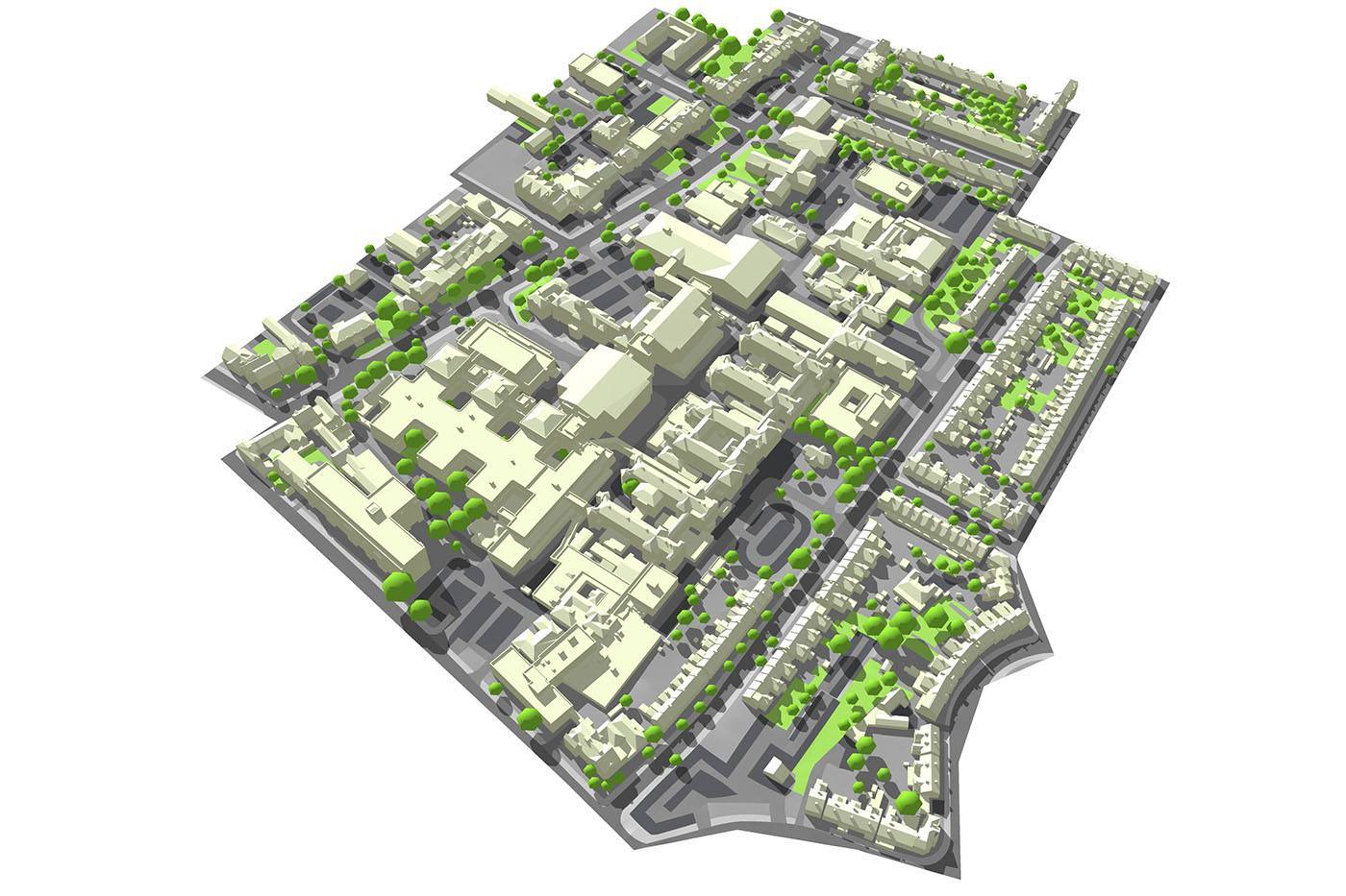
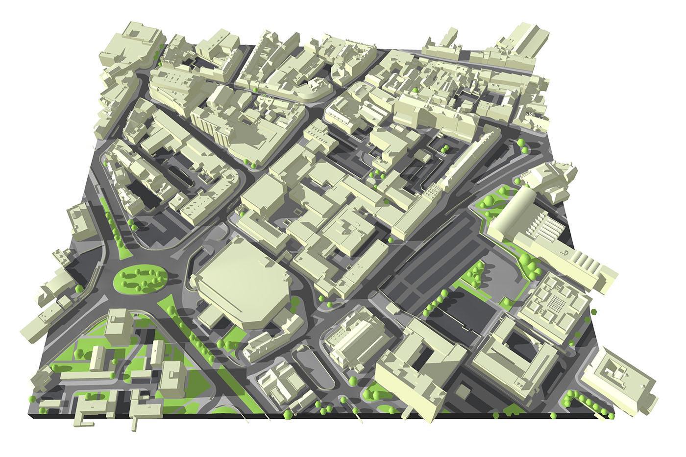
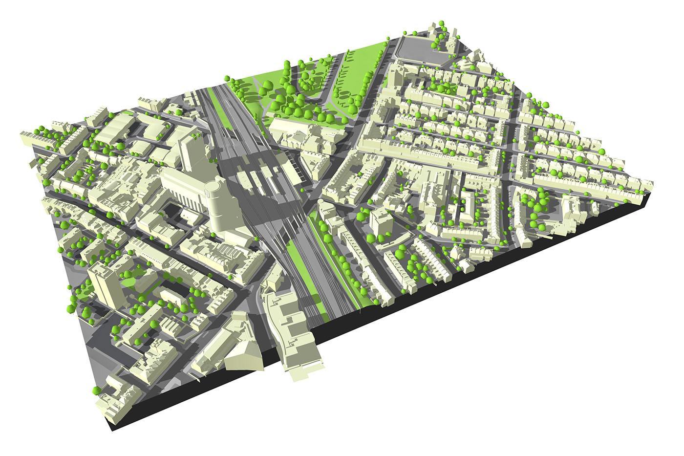
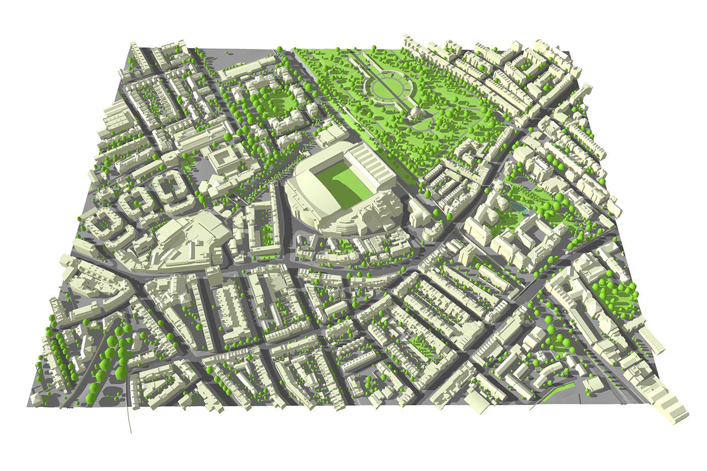
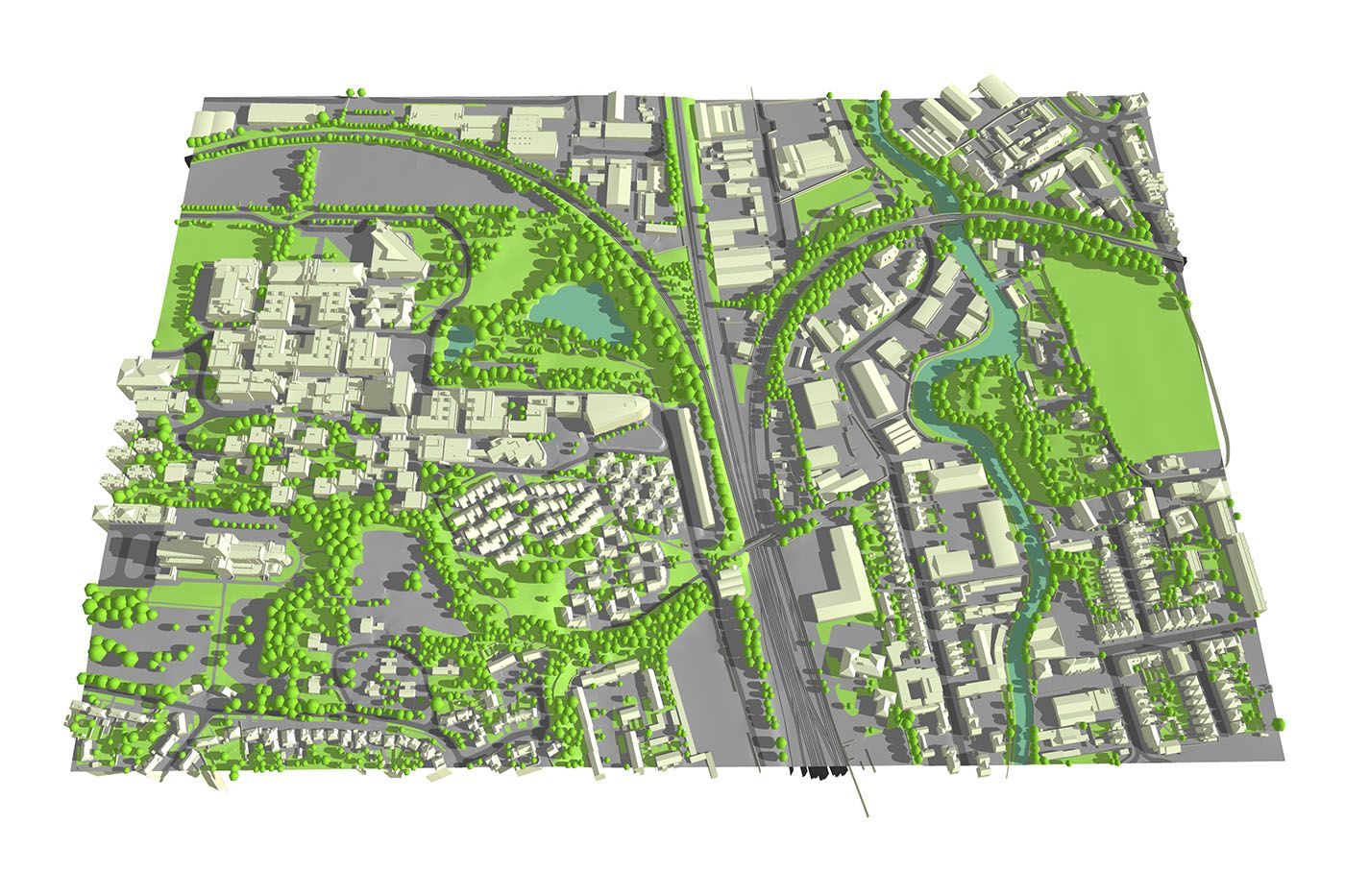
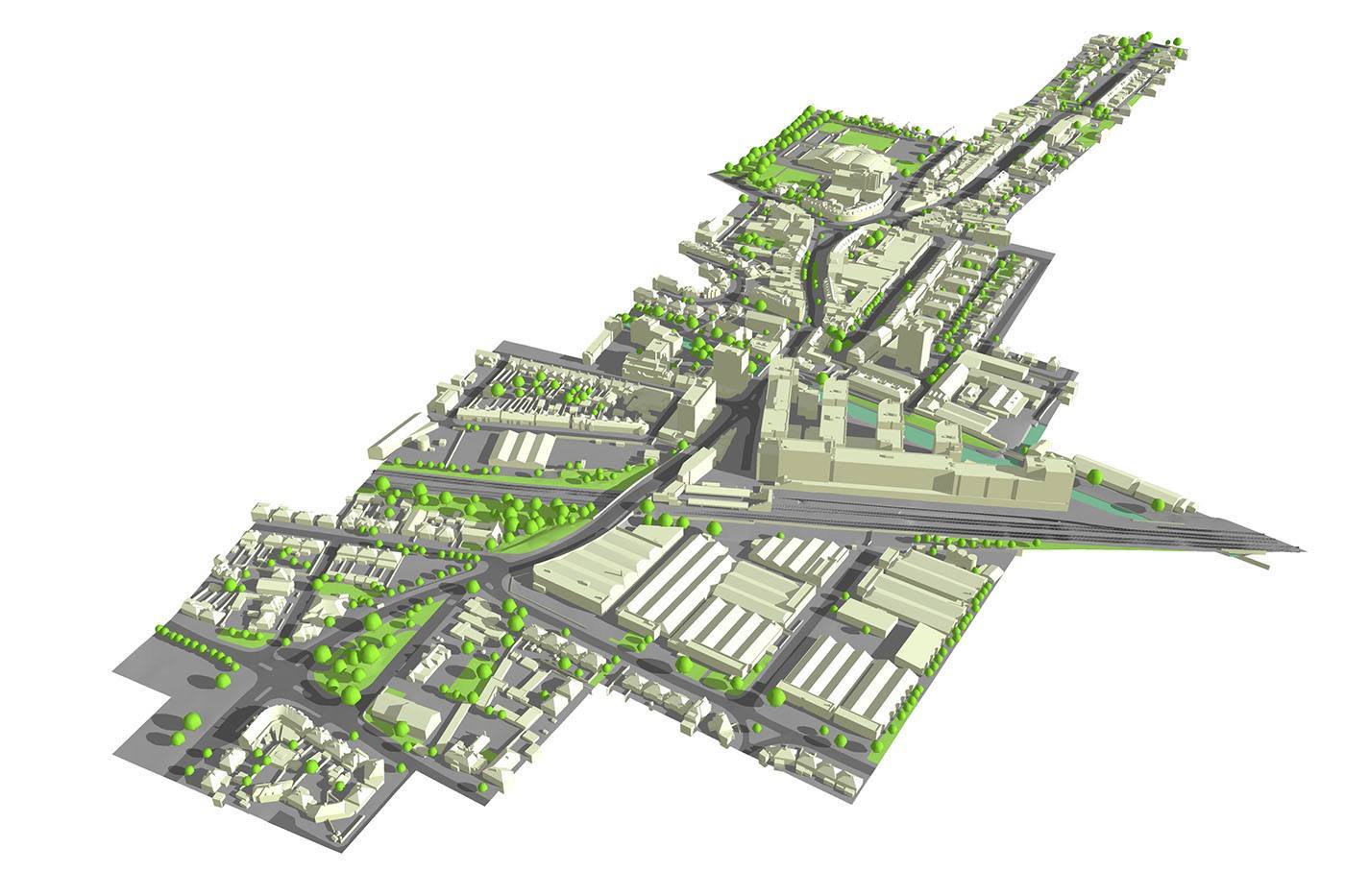
We offer highly detailed and accurate 3D context models. Ideal for Architects, Urban Designers, Visualisers and Local Authorities.
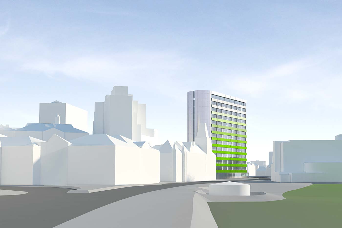
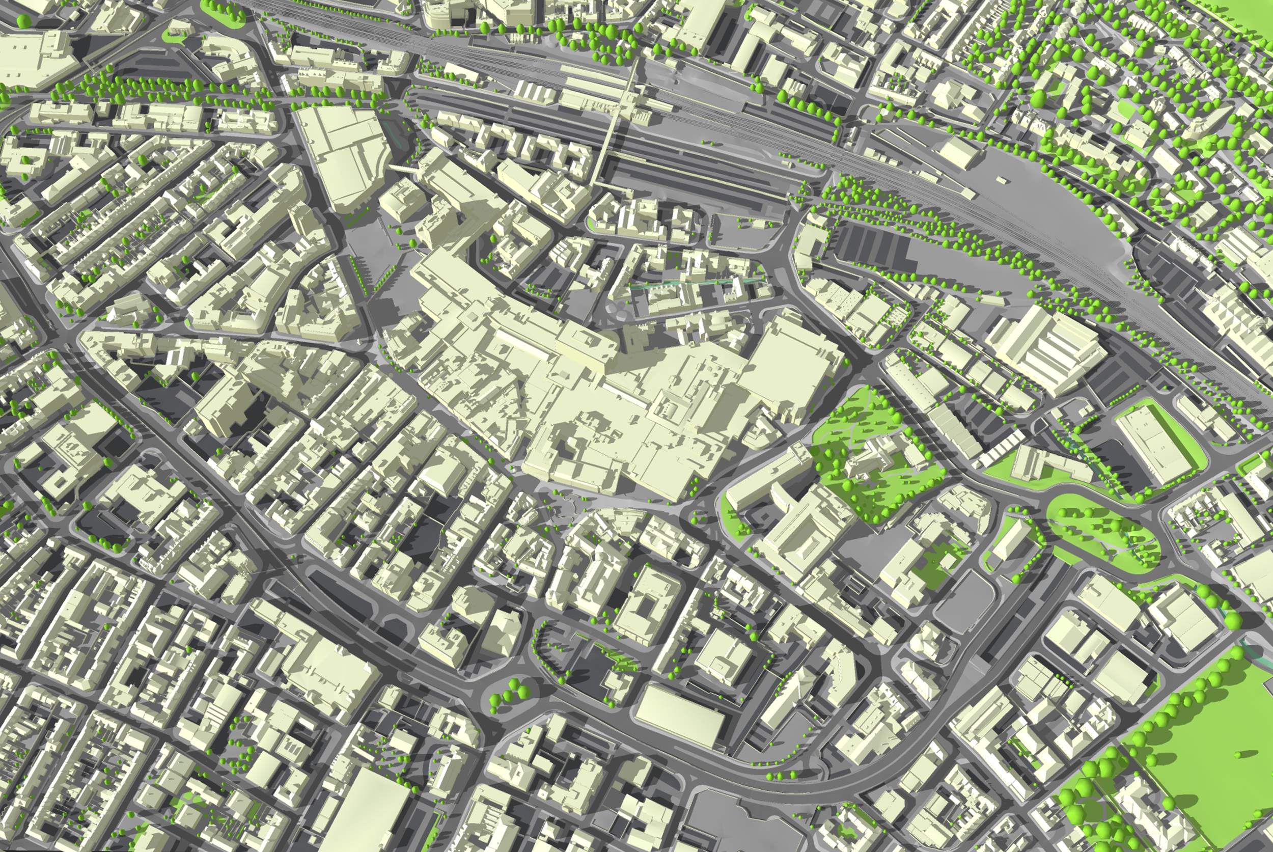
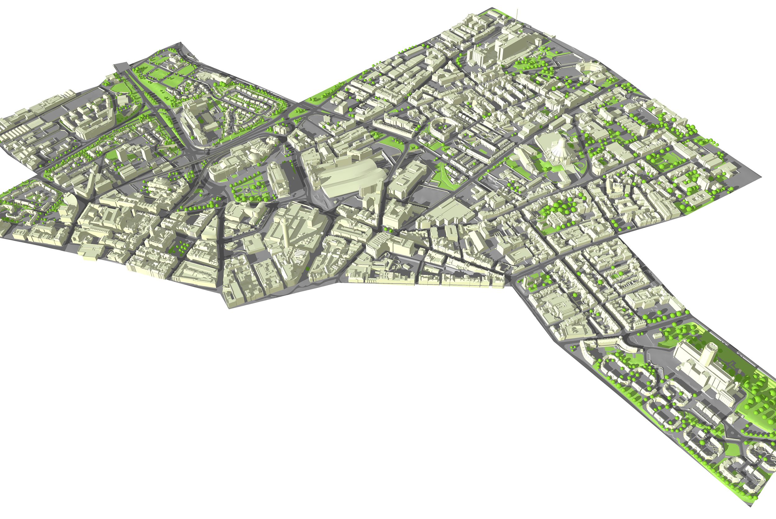
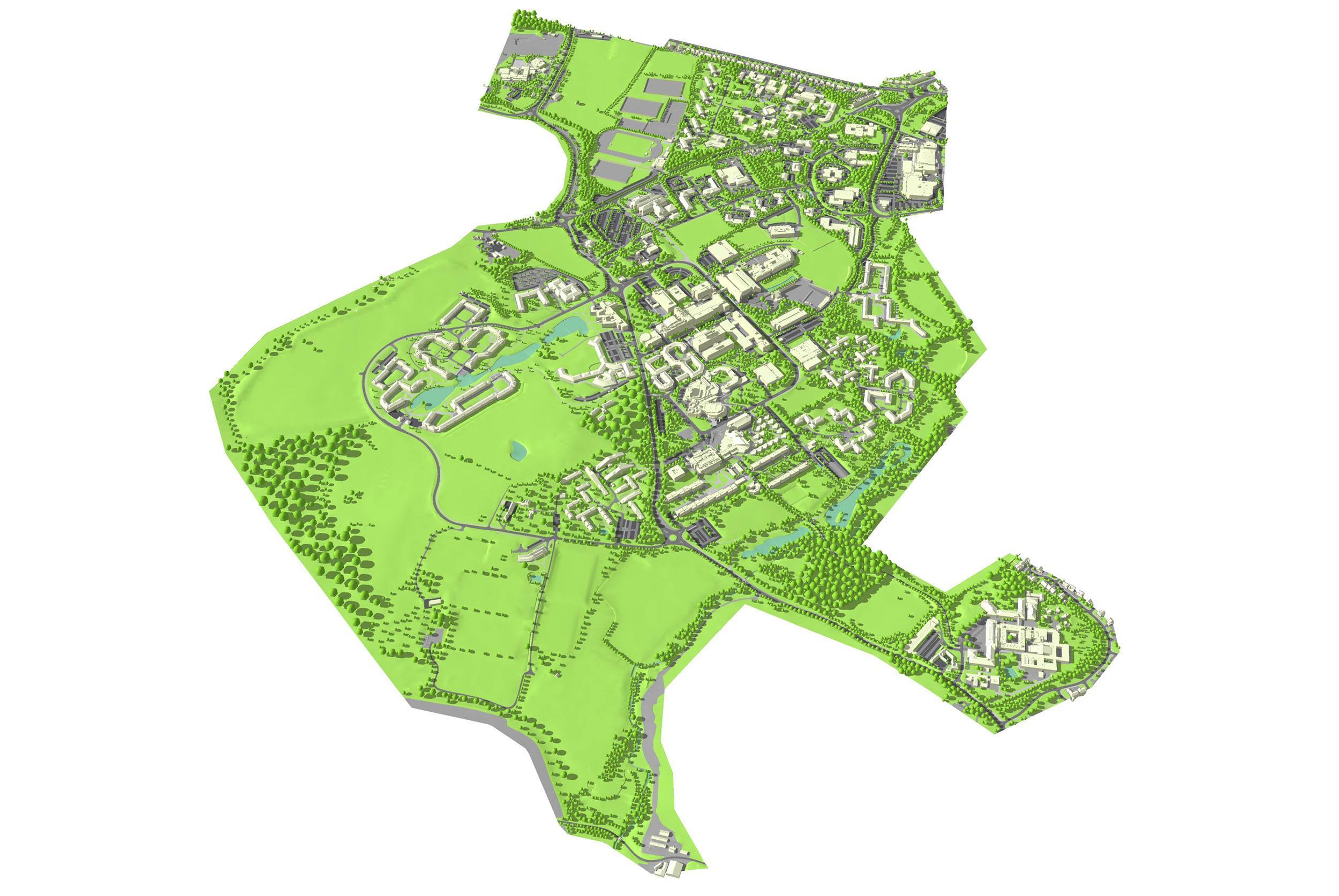
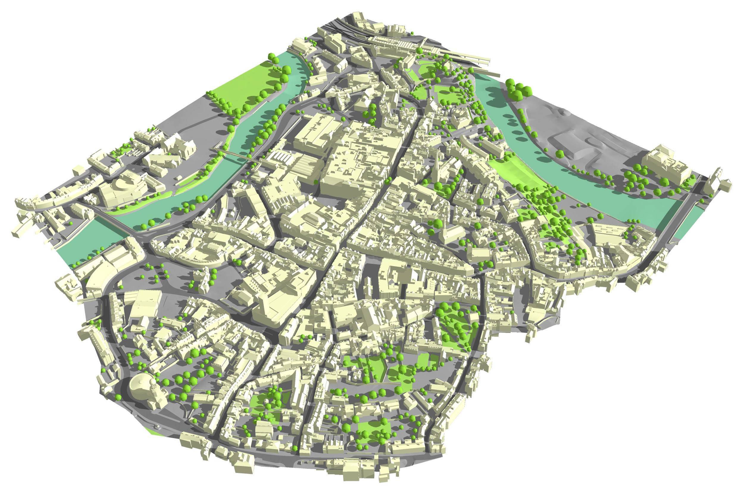
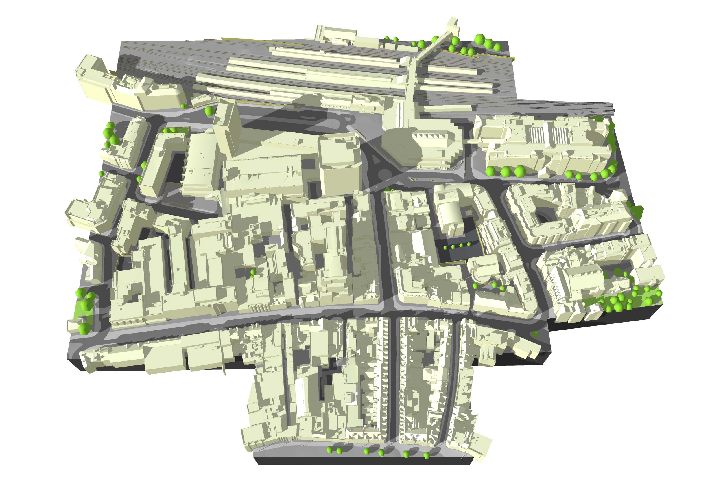
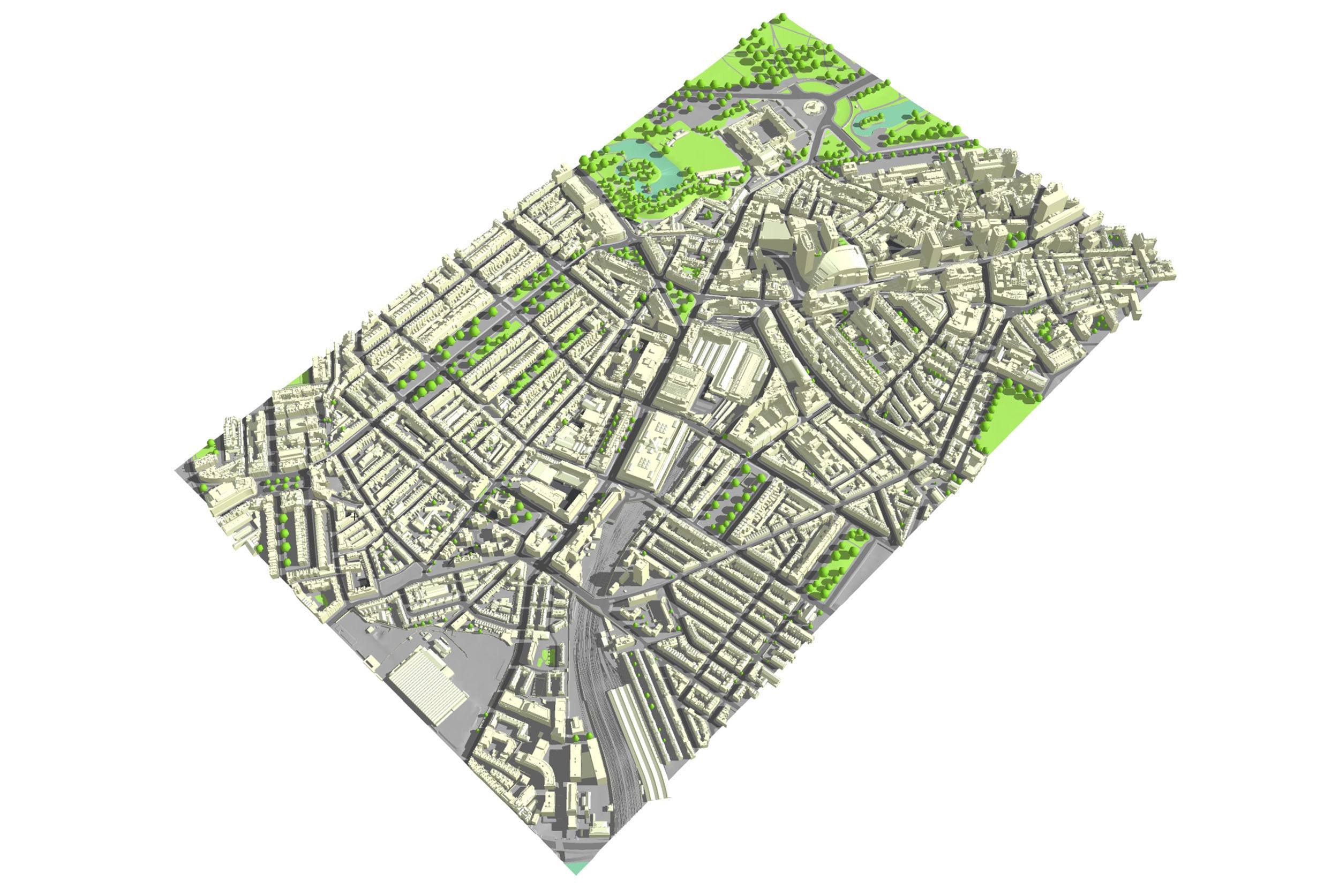
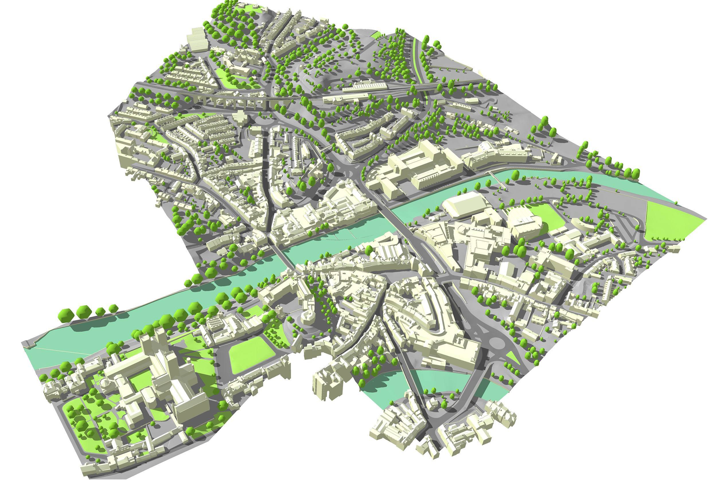
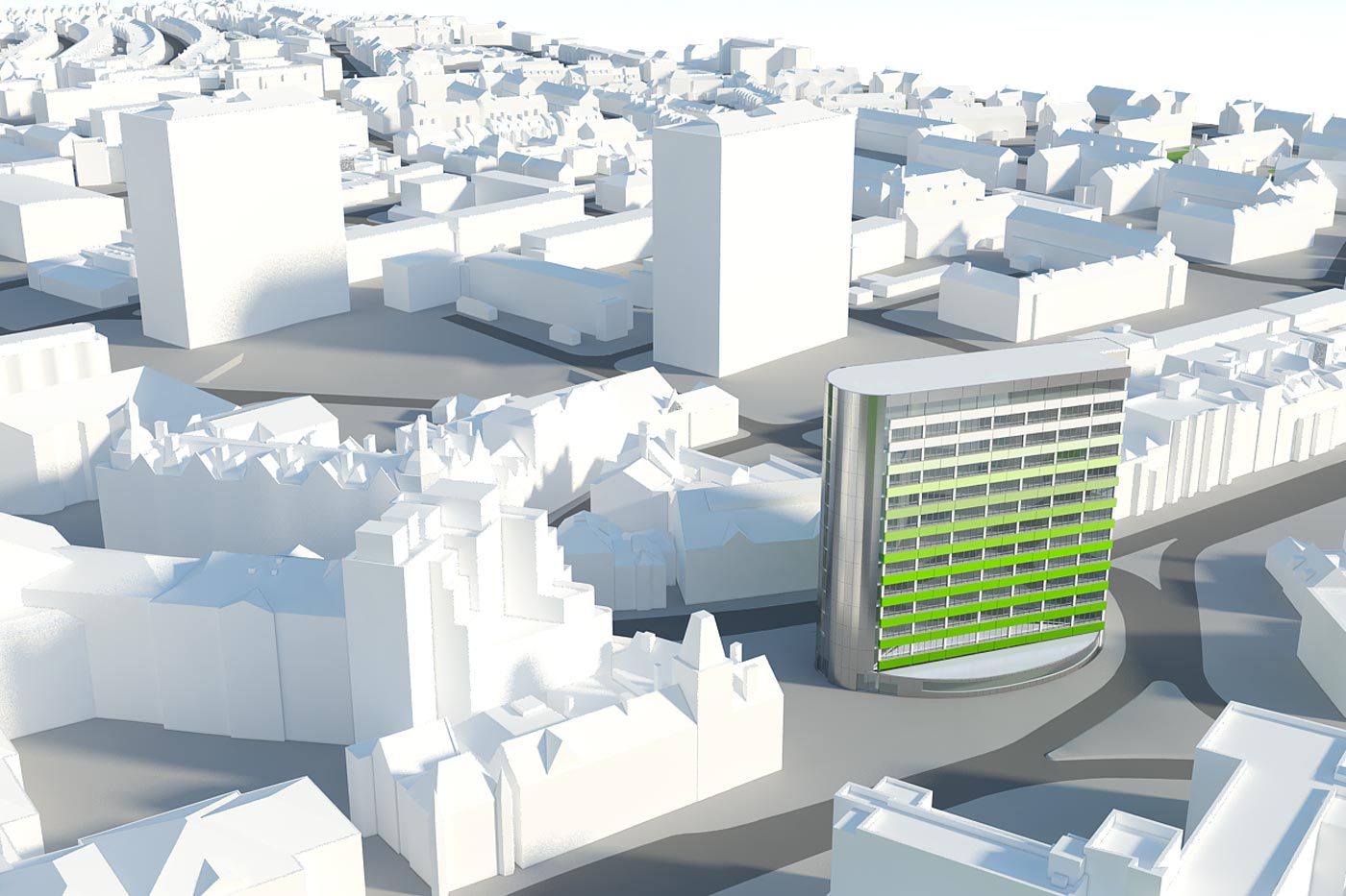
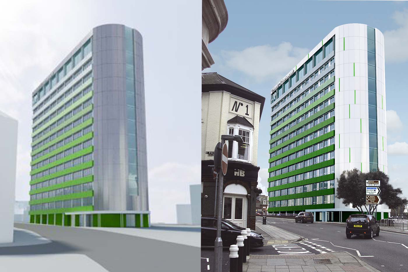
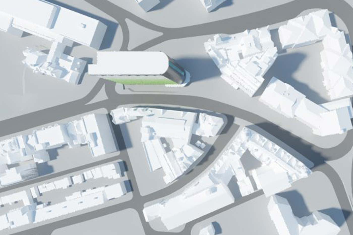
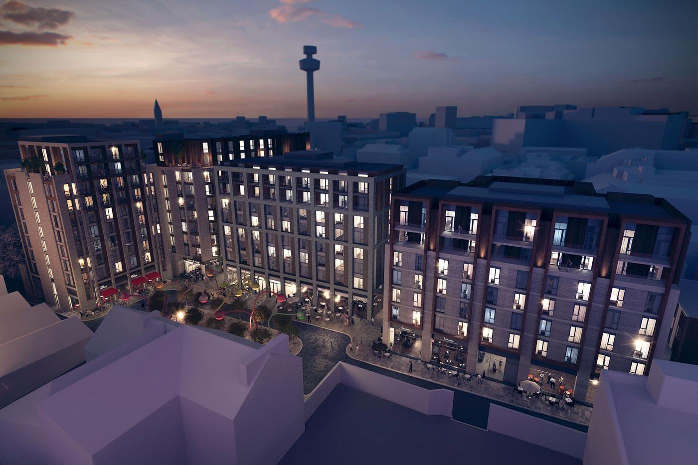
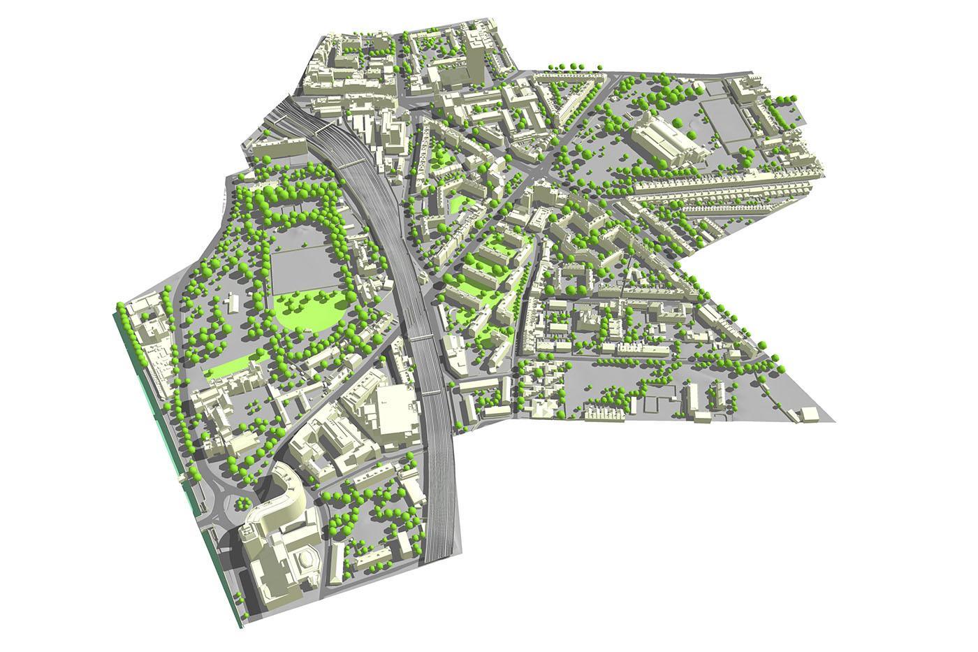
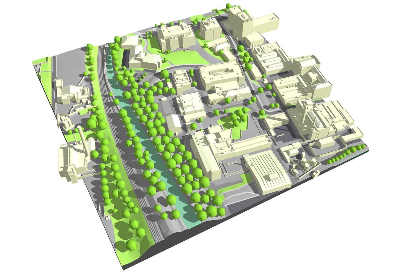
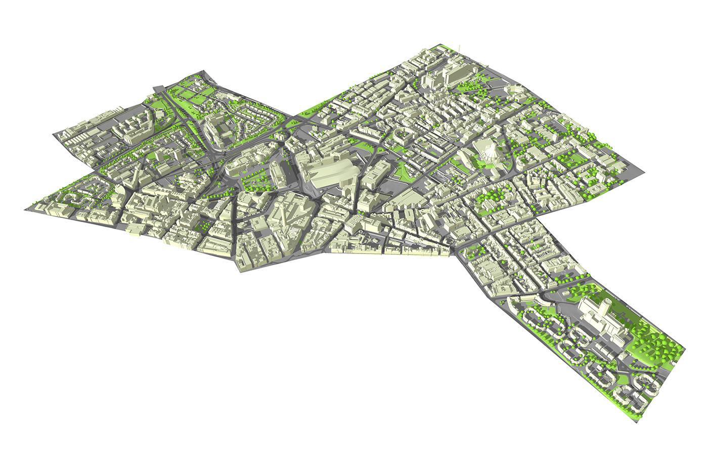
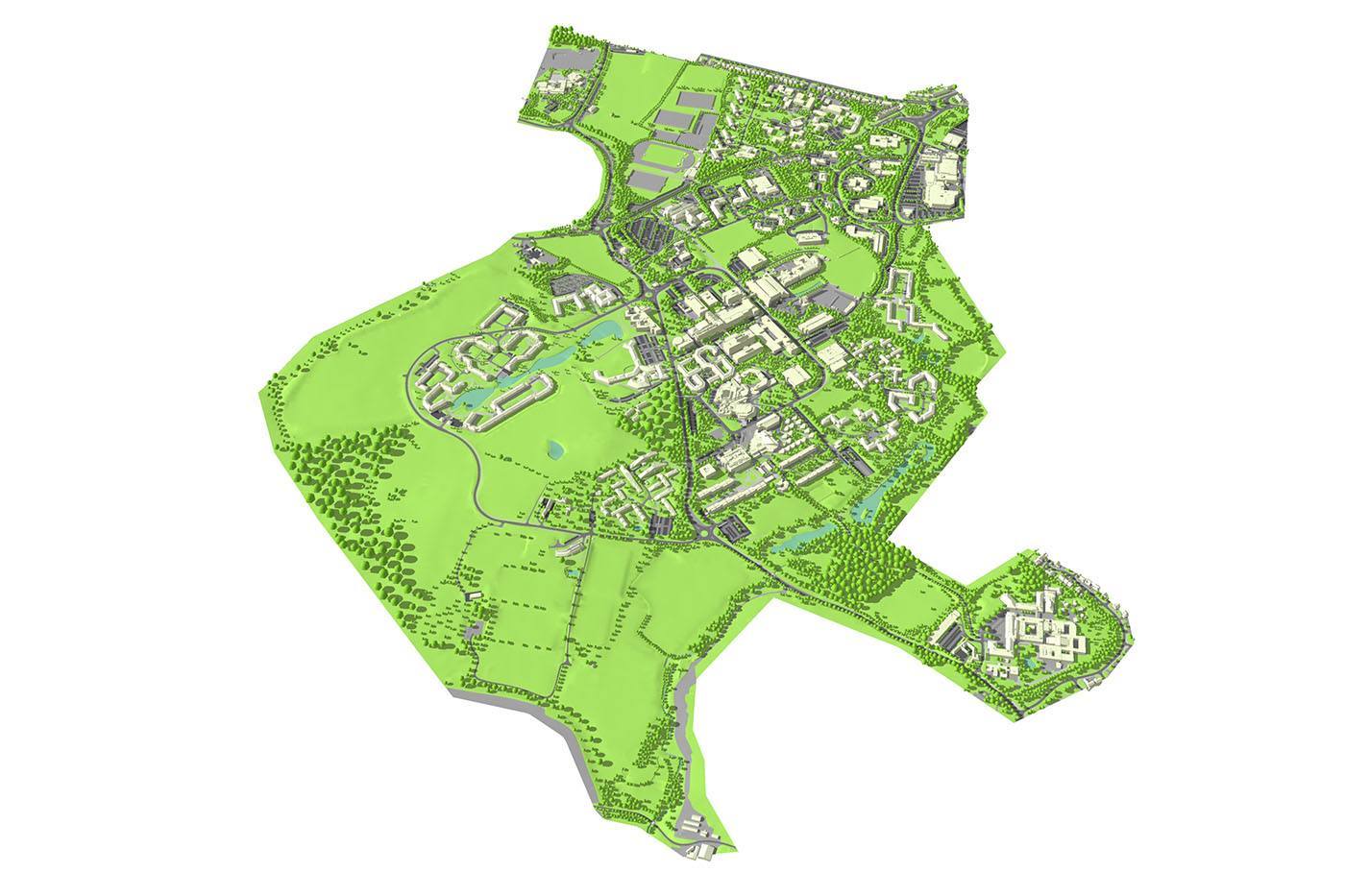
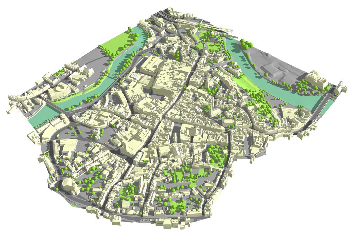
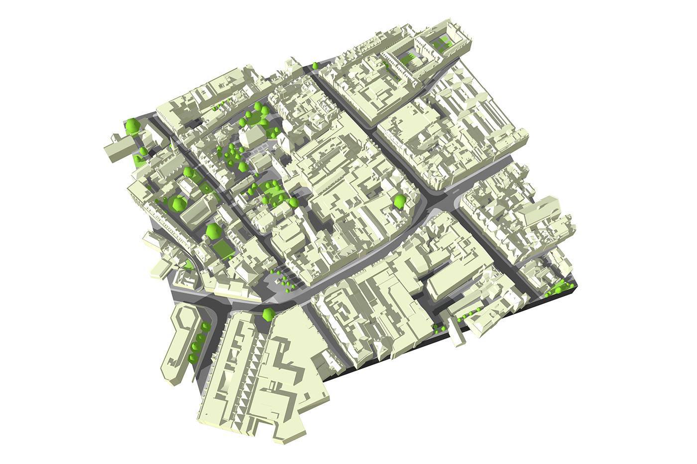
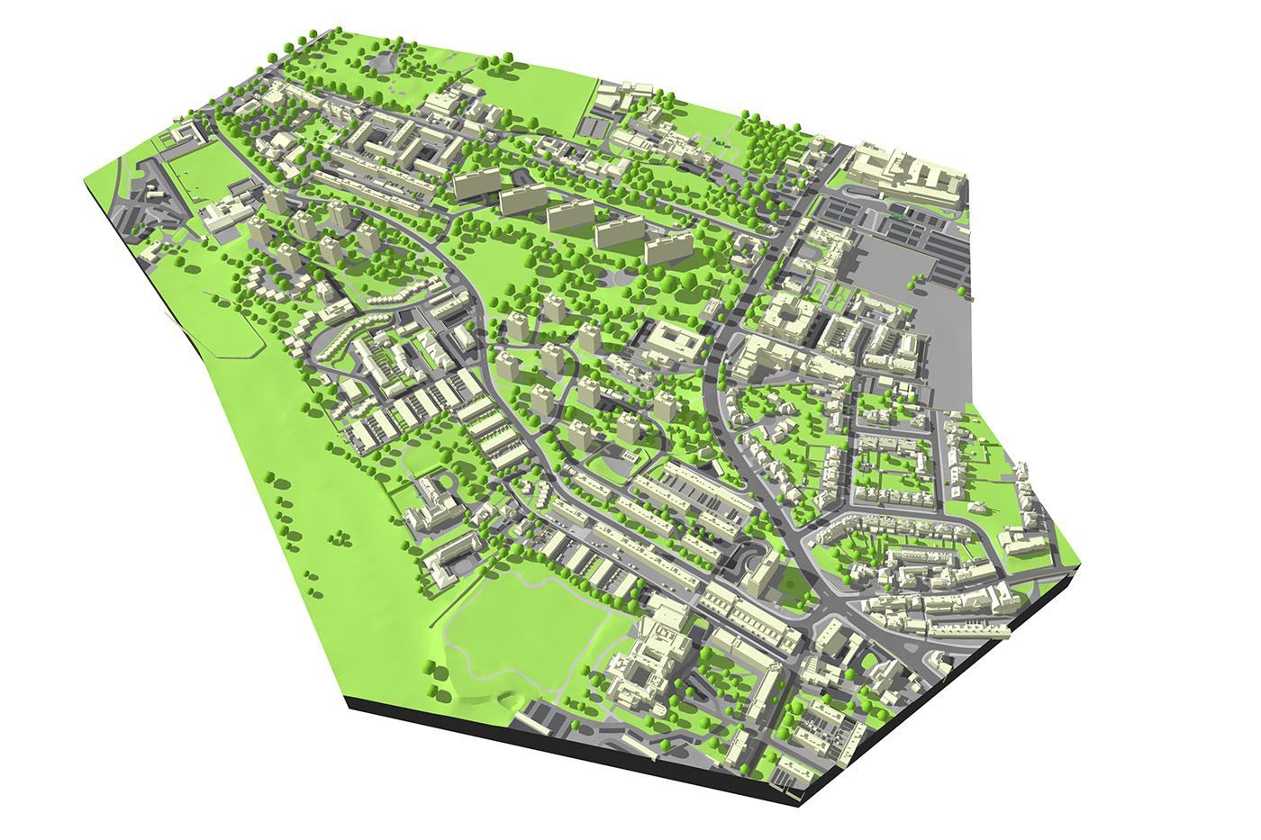
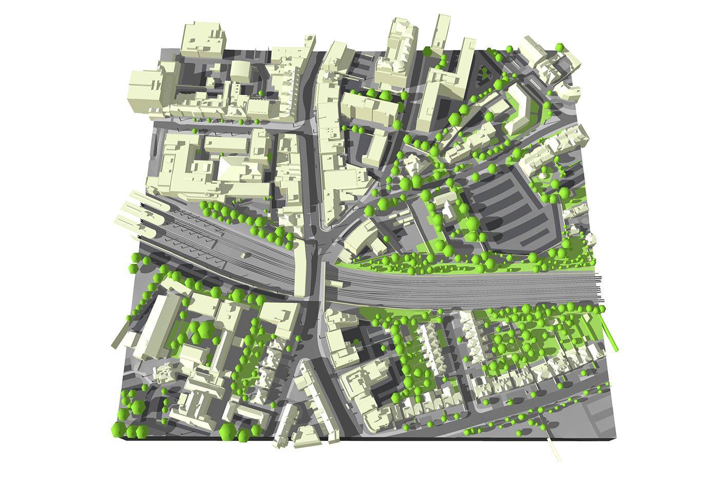
Our models are geographically correct, realistic representations of the built environment, derived from high resolution aerial data. These range from small site plans to accurate 3D models of entire cities. Such computer representations have proved to be invaluable for proposed schemes at pre-application stages and for sensitive sites where it’s important to demonstrate how a new building fits into its surroundings.
Available in a range of formats. Simply use our optimised SketchUp files or import our 3D city models into your preferred CAD package.
Insert your projects, take views, render movies and cut sections. The perfect tool for feasibility studies through to planning and presentation.
Applications for our 3D City Model service include:
Due to the numbers of variables involved in making a physical model we ask that you click the link below to fill out your requirements in an email and we will respond promptly.
get a quote for a physical modelFor digital context models, we have a bespoke area selection tool. Please click the link below to access the map tool and simply highlight your area of interest for a quote.
get a quote for a digital model